

Operations


Community Approval

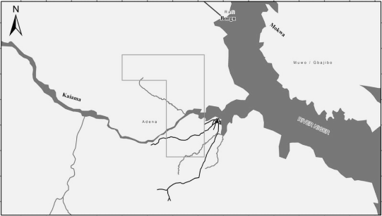
Cadaster Mapping
Aeromagnetic Survey

Geophysical and Geochemical Analysis


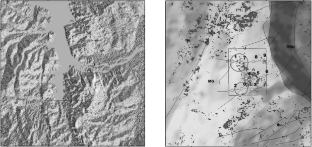
Exploratory Drilling
Resource Definition
Feasibility Study